
East Brunswick ZIP Code Directory Coverage
East Brunswick's legal municipality is not the same thing as a postal place. USPS notes that ZIP boundaries do not necessarily follow municipal boundaries and that alternative city names can exist. The safest label is therefore “postal destination” rather than an assumption about township coverage. The table lists the primary code and nearby candidates raised by the research. It is an address-validation table, not proof that every code covers a large part of East Brunswick.
| ZIP | Areas covered | Post office or validation route | Notes |
|---|---|---|---|
| 08816 | East Brunswick delivery-city lead | East Brunswick delivery city; validate in USPS AIS | Primary township ZIP, but postal boundary is not legal boundary |
| 08828 | Helmetta postal label | Validate the specific address | Former East Brunswick section; do not equate ZIP with historic township |
| 08831 | Monroe Township postal label | Use USPS and NJOGIS for the address | Possible edge candidate, not an official township-wide crosswalk |
| 08850 | Milltown postal label | Verify delivery city and address | Nearby former section; postal and municipal lines differ |
| 08857 | Old Bridge postal label | Verify exact parcel and address | Old Bridge has both historic East Brunswick and neighboring municipal meanings |
| 08884 | Spotswood postal label | Validate with postal and municipality tools | Spotswood withdrew in the 1870-1908 period |
| 08902 | North Brunswick postal label | Official municipality lookup controls | Nearby edge candidate only |
No official USPS polygon or township-wide crosswalk was located for every possible overlap. That is why the East Brunswick ZIP code directory uses a full-address workflow. A ZIP narrows a delivery geography, but it cannot identify all township parcels, residents, or election districts.
08816 and East Brunswick ZIP Codes
08816 is the standard East Brunswick postal code, and official USPS material identifies East Brunswick as its delivery city. The East Brunswick Post Office is associated with Cranbury Road. The regional labels in the coverage table should not be treated as alternate descriptions for every East Brunswick address. Each can be meaningful at a township edge, in an older document, or where a postal city differs from a legal municipality.
For historical research, preserve the old post-office label. The 1901 through 1908 and 1921 through 1924 New Brunswick directories include rural routes and surrounding towns. A record printed as New Brunswick or Milltown should not be rewritten as East Brunswick unless a deed, map, or municipality lookup connects it. That small discipline prevents a false gap when streets, postal arrangements, and municipal histories do not align.
Note: The primary East Brunswick ZIP code is a delivery label, not a substitute for a parcel's legal municipality.
Verify an East Brunswick ZIP Code
Use three tools in order: postal validation, state municipality confirmation, then county parcel geography. This sequence separates standardized delivery formatting from legal jurisdiction and the parcel details that connect an address to block and lot. It also creates a useful record of the date checked, which matters when service changes or a historical record uses a different street or place label.
- Enter the complete street address and city in the USPS Address Information System viewer and copy the standardized result.
- Enter street address, city, state, and the ZIP when available into New Jersey's municipality lookup.
- Compare the postal destination with the legal municipality returned by the state tool.
- Use the standardized address in Middlesex County GIS to review parcel geometry, block, lot, and available mailing fields.
- Record the source URL, access date, and any mismatch rather than choosing one label without explanation.
USPS AIS Viewer is the postal-validation lead; its interactive fields should be checked in the live service.
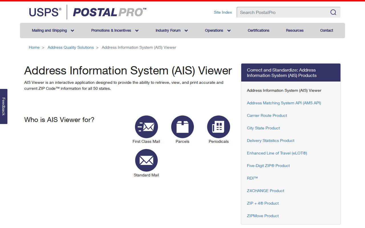
The postal result is the first check, after which the municipal and parcel sources can explain whether the same address has a different legal label.
East Brunswick ZIP Code Municipality Check
The state NJOGIS municipality lookup is the clean jurisdiction check because it accepts a street address, city, state, and optional ZIP, then returns municipality and standardized formatting. It is especially useful when a postal city differs from East Brunswick Township. The assessment hub does not show a ZIP filter in its visible controls, so do not promise a ZIP-based owner search there.
| Street Address | The address line used to standardize the location. |
|---|---|
| City | The postal or supplied city label to compare with the returned municipality. |
| State | New Jersey for this local address check. |
| ZIP | Optional input that helps test the delivery geography against the same address. |
| Result | Municipality and standardized address formatting for the jurisdiction check. |
The NJOGIS address lookup shows the ZIP-capable state validation route.
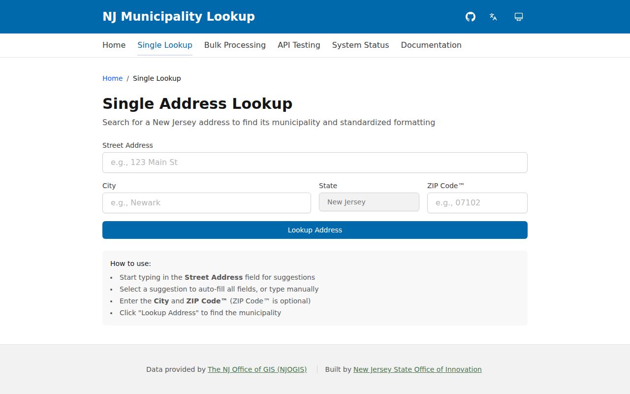
Use the state result to label municipality separately from the postal destination before moving to a county parcel search.
East Brunswick ZIP Codes in County GIS
Middlesex County GIS is the parcel-geography layer. Its public service supports query, identify, export, geometry, pagination, and other map functions, and receives monthly updates as municipalities update MOD-IV. Relevant fields include PAMS_PIN, municipality, block, lot, property location, property class, OwnerAddr1/2, ZipCode, sale and deed references, year built, and geometry. A visible OwnerName alias does not mean every owner name is available for download.
The public parcel service has a 2,000-record maximum. Narrow broad work by municipality, situs text, block, or geometry and paginate results. The service can help locate the parcel after ZIP validation, but it is not a legal survey and a mailing ZIP is not the same thing as a site location.
Middlesex County's parcel service provides the county mapping route.
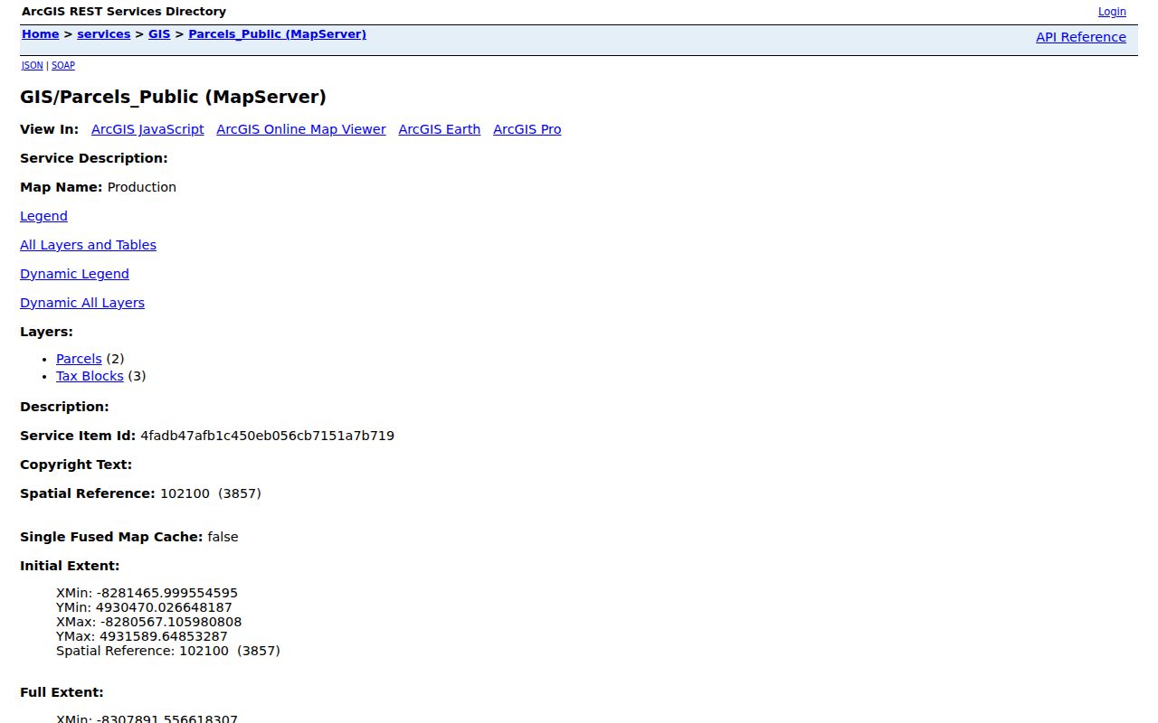
The GIS record supplies the parcel context that turns a postal label into a checked East Brunswick address record.
East Brunswick ZIP Code Boundaries
Postal geography, parcel geography, and legal municipality are separate systems. A parcel's property location, its owner mailing address, its deed legal description, its voter-registration address, and its postal delivery city can all differ. The East Brunswick ZIP code directory should name the field being used rather than treating any one address as the answer to every question.
- ZIP Code
- A postal delivery geography used to route mail. It does not define municipal borders.
- ZIP+4
- An added postal code segment that narrows delivery handling; it is not a separate legal jurisdiction.
- PO-box ZIP
- A ZIP used for post-office box delivery and not evidence of the person's physical location.
- Carrier route
- A postal delivery grouping that can support routing but does not identify a township boundary.
New Jersey's municipal directory assigns East Brunswick code 1204. That administrative label and the NJOGIS result are better jurisdiction checks than a ZIP alone. If a place label remains unclear, preserve the uncertainty and consult the underlying deed, map, or official address lookup.
Historic Labels in East Brunswick ZIP Research
East Brunswick's boundary history makes postal research more than a map exercise. The township incorporated in 1860, while Helmetta, South River, Spotswood, and Milltown withdrew between 1870 and 1908. Old Bridge remains part of the township's historic story, while Old Bridge also names a neighboring municipality and postal label. Directory and deed researchers should record the historic section name beside the modern street rather than replacing it.
Riva Avenue, Farrington Lake, the Old Bridge and South River section, roads, rural routes, railroad links, Route 18, and the Turnpike can all appear as location clues in older material. Their value is explanatory. They do not authorize a modern location match without a dated record, a map, or the municipality check. This historical crosswalk is the local story behind an otherwise ordinary ZIP validation.
East Brunswick ZIP Codes and Election Districts
An election district is not a ZIP code. The official New Jersey voter-status search is an individual exact-name and county check, not a street or ZIP resident directory. County sample ballots can confirm election-district and contest context, but they are not complete household rosters. Keep the ZIP validation workflow separate from election administration records.
Middlesex County election functions are split between the County Clerk Elections office at 26-B Kennedy Boulevard, Suite B, and the Board of Elections at 26 Kennedy Boulevard, Suite B, both in East Brunswick. County procedures and notices can change with an election. Use current county notices for dates and access details rather than applying an old notice to a present address.
Note: A postal ZIP can help validate an address, while an election district needs its own official record path.
East Brunswick ZIP Code Directory Limits
No official per-ZIP population, voter, or resident counts were located. A ZIP is not a person attribute that can establish who lives at an address. It is useful for grouping addresses, checking form input, and explaining why an East Brunswick parcel may use a neighboring postal city. When the task changes from validation to a named street, use the East Brunswick street directory records path, which is built around address and parcel evidence.
Daniel's Law can affect address and owner visibility in state, county, and municipal systems. A county parcel layer may display geography, value, sale or deed fields, and mailing ZIP without exposing a current owner name. Respect redactions and do not infer absence from a protected display. The reliable result is a clearly labeled address check, not a broad list of people.