
East Brunswick Neighbors by Block Source
There is no official, comprehensive East Brunswick neighbor roster. The useful public sources are parcel and address records, not a promise that every nearby occupant is listed. County GIS can show the parcel pattern around an address. The assessment hub can supply property and recorded-owner leads. The Clerk’s index can show parties to recorded instruments. The public voter tool checks a single registration result after an exact name and county match. Local organizations document institutions and public contacts, not private membership lists.
| Block source | What it shows about nearby parcels | Access |
|---|---|---|
| Middlesex County GIS parcel layer | Parcel geometry, block and lot, property location, deed references, values, and selected mailing fields | Public map and query service, updated monthly |
| County assessment hub and Tax Assessor | Property, owner, B.L.Q., sale, class, size, and year-built leads | Public hub; municipal office can explain records |
| Middlesex County Clerk index | Recorded party, instrument type, date, book and page, legal description | Public index, record-room and copy routes for more research |
| New Jersey voter status tool | Individual registration-status check after exact matching | Public individual search; district-list route is separate |
| Township community resources | Organization and civic-document layer, public contacts and programs | Official municipal pages; not a private member directory |
Nearby East Brunswick parcels may be represented by different values across the same block. An owner could receive mail elsewhere, a parcel could be held by a trust or estate, and a directory listing could be historical. Use the source description in the table, rather than a name alone, to state what the record can establish.
Map East Brunswick Blocks by Parcel
County GIS is the practical map layer for an immediate block. The public parcel service supports query, identify, export, geometry, pagination, distance, SQL, statistics, order-by, and find functions. Important fields include PAMS PIN, MUNICIPALITY, BLOCK, LOT, QCODE, property location, land description, OwnerAddr1 and OwnerAddr2, ZipCode, old block and lot, sales date, deed book and page, sale price, acreage, year built, MOD-IV date, and geometry. That field set lets a researcher compare adjacent legal parcels without claiming that the map alone identifies every person at an address.
A capture of the Middlesex County parcel layer shows the type of adjacent-polygon view used for East Brunswick block research. 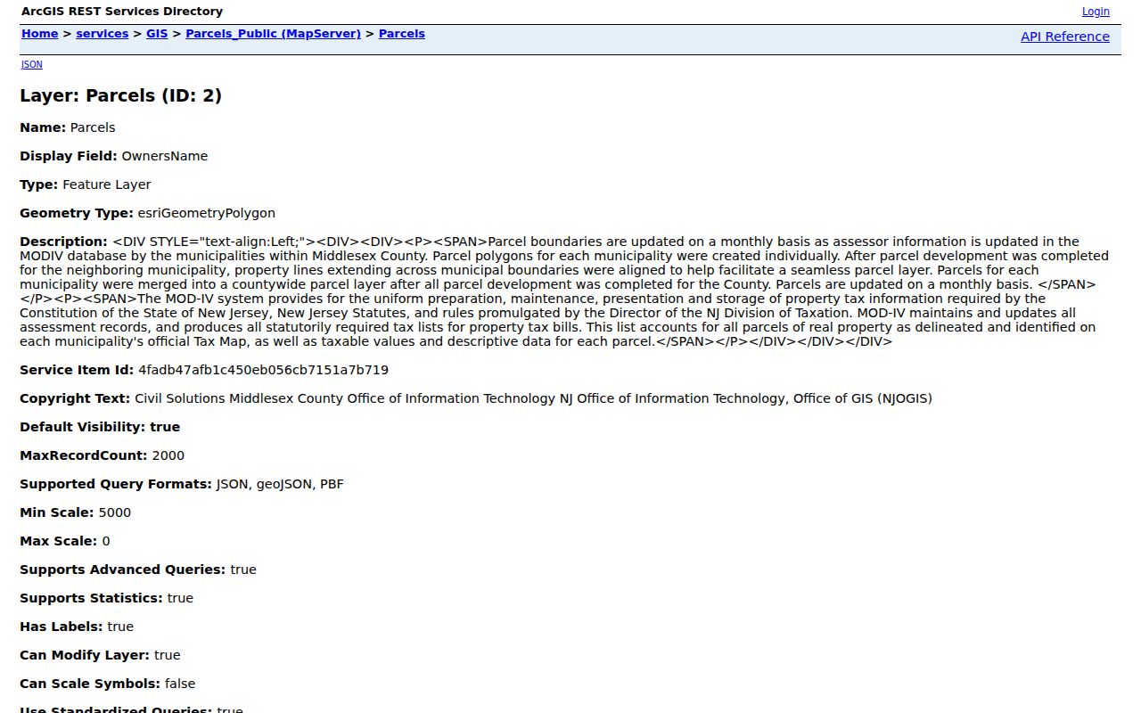 Use the map to locate the subject parcel and surrounding lots, then save the block and lot before consulting assessment or deed records.
A broad query needs limits. The service has a maximum record count of 2,000 and is updated monthly as municipal MOD-IV data changes. Narrow a search by municipality, street or situs text, block, or geometry, then inspect the result count and paginate. Displaying lots across the road or behind the subject lot shows a block pattern, but the polygon is a map aid, not a legal survey.
Trace an East Brunswick Block
The immediate-block method keeps the inquiry focused. Begin with one known address and move outward through parcel identifiers, not by treating a street name as a complete resident list. The flow is address → assessment or GIS parcel → block and lot → adjacent polygons → deed reference or recorded party → carefully limited community context. It works because each step preserves the link between the source and the specific parcel.
- Enter the address in the Middlesex County assessment hub or use the municipal assessor when a property card or tax map needs explanation.
- Confirm the subject property in GIS and write down its PAMS PIN, block, lot, property location, deed book, and deed page.
- Display or query the polygons immediately touching, facing, or behind that parcel, then record each adjacent block and lot separately.
- For a specific parcel, use the County Clerk index with East Brunswick and the legal key to identify the recorded instrument and party role.
- Keep any community organization result at the organization level. Do not infer private membership, occupancy, or contact information from a public listing.
For a full named-street chain rather than the immediate block, use the East Brunswick street directory. That address page follows assessor, GIS, deed, voter-status, and historic-directory layers along a street, while this block method stays close to the subject parcel.
East Brunswick Block Address Fields
Nearby parcels should be compared using the correct field. GIS PropLoc is the parcel or situs location. OwnerAddr1 and OwnerAddr2, as well as ZipCode, are mailing fields. The deed legal description and block and lot identify the land. The assessment hub’s Property field may be a situs string. A voter record is a registration record, and USPS shows a delivery address and postal city. Those labels can disagree without proving that any one source is wrong.
County and statewide map products also have different visibility rules. The county service displays an owner-name alias, but its visible field list does not expose a general owner-name field. New Jersey statewide parcel and tax-list guidance says owner names are redacted from hosted downloads, map services, and applications under Daniel’s Law. A block map can therefore show a parcel, sale fields, a mailing ZIP, or a deed reference while leaving an owner-name field blank.
- Block and lot
- The local legal identifiers used to distinguish one parcel from another.
- Situs
- The physical property location, which can be different from a correspondence address.
- Mailing address
- The address used for correspondence, not proof that the recipient occupies the parcel.
- Recorded party
- A person or entity named in a land instrument, whose role may be owner, grantor, grantee, trustee, executor, or another legal participant.
East Brunswick Neighbor Voter Boundaries
New Jersey’s official Am I Registered? tool is for an individual check, not a block lookup. The state says the supplied name must match the county record exactly. Hyphenation, spaces, maiden or former names, middle initials, and nicknames can cause a mismatch. The research capture did not expose a stable full set of live fields, required status, CAPTCHA, or result fields, so it is not accurate to promise an address display or a ready-made list.
State law allows a voter to request a computer-generated or electronic registered-voter list for one or more county election districts, with a charge based on reproduction cost that cannot exceed $375. That is a separate statutory route from the individual status portal. Signatures are excluded, and home addresses for approved covered people are redacted. County Clerk Elections is at 26-B Kennedy Boulevard, Suite B, and the Board of Elections is at 26 Kennedy Boulevard, Suite B, both in East Brunswick. The Clerk handles clerk-managed election records; the Board handles registration, ballots, counting, and election administration.
East Brunswick Community Record Layer
Community resources can help a person understand the public life around a block without turning civic listings into personal rosters. The township’s Community Organizations page identifies the Arts Coalition, Historical Society, Human Relations Council, Museum Corporation, Playhouse 22, and recognized athletic organizations. Boards and Commissions materials provide agendas and minutes for appointed civic bodies. The Community Service Database is a township nonprofit directory intended for monthly updates. These are public institution and contact layers, not evidence that a particular household belongs to a group.
Community Organizations
Official township categories and public organization contacts, including arts, history, civic, museum, theater, and athletic networks.
Boards and Commissions
Public agendas and minutes for appointed civic bodies, useful for document context rather than private membership.
Neighborhood Watch
An official community-policing program with designated groups, leaders, and training. Community Policing can be reached at 732-390-6938.
The Community Organizations source is shown in the assigned capture for the East Brunswick community record layer. 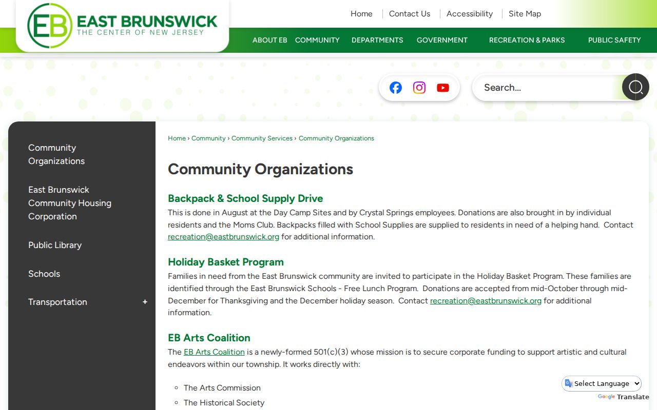 No official comprehensive HOA or neighborhood-association member directory was located, so the appropriate result is an organization link or public contact, not a claimed member list.
East Brunswick Neighbor Source Comparison
Official records and commercial neighbor-lookup categories serve different purposes. The official sources identify their custodian, record type, date, and public limits. A commercial category may combine data from many places but can obscure its source date, the difference between owner and occupant, and a privacy redaction. For a block question, the official parcel, assessment, deed, and community sources make it easier to state exactly what is known and what is not.
| Official source route | Commercial neighbor-tool category | Practical distinction |
|---|---|---|
| Parcel, assessment, and deed records | Compiled people or address results | Official sources identify the record type and legal parcel key; compiled results may blur source dates and roles. |
| Individual voter-status check | Claimed resident roster | State access is limited and exact-match based; a roster claim can exceed what the official tool establishes. |
| Township organization page | Personal contact aggregation | Public organization contacts are not proof of private membership or a reason to contact people. |
Note: A source that clearly names its custodian and date is easier to verify than an untraceable combined result.
East Brunswick Block History Clues
East Brunswick Museum adds historical context when a block is being researched across time. Its holdings include photographs of homes and places, local artifacts, pottery and brick material, and Governor Hoffman papers. The museum’s holdings page is shown in the assigned capture. 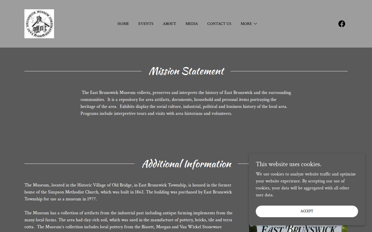 A caption, photograph, or family story can point to a deed, directory, map, or archive search, but it is not proof of title or current occupancy without an underlying source.
Place names matter in East Brunswick. The township incorporated in 1860, and Helmetta, South River, Spotswood, and Milltown withdrew between 1870 and 1908. Old Bridge is both part of the historic story and a neighboring municipal or postal label. On an older map, directory, or deed, preserve the original place phrase and compare it with the legal description and a current municipality lookup rather than silently converting it to a modern block label.
East Brunswick Block Privacy Limits
Public parcel research does not expose every part of life around a block. Daniel’s Law permits covered people to seek redaction or nondisclosure of home addresses and unpublished phone numbers on government websites. The New Jersey Address Confidentiality Program provides eligible participants with a legal substitute address for future official records, although it cannot remove an address already public in a record. Voter-list access has its own signature and protected-address exclusions. A blank or redacted field is not evidence that the person has no record.
New Jersey law also forbids harmful use of public data. N.J.S.A. 2C:12-10 addresses stalking and N.J.S.A. 2C:33-4 addresses harassment. Use block records for personal safety awareness, neighborhood and property curiosity, family history, civic transparency, or fraud awareness. Do not use block research to watch, intimidate, threaten, or harass another person. County and state record limits should be respected even when a particular field is technically visible.
Lawful use. East Brunswick block research can help explain public record context; never use it to stalk, harass, or harm anyone.